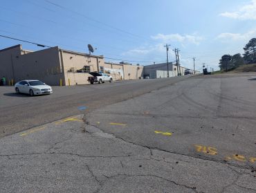
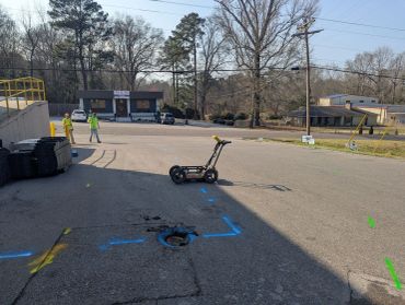
Ground Penetrating Radar (GPR) Services in Mississippi
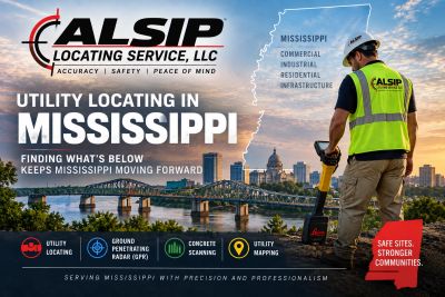
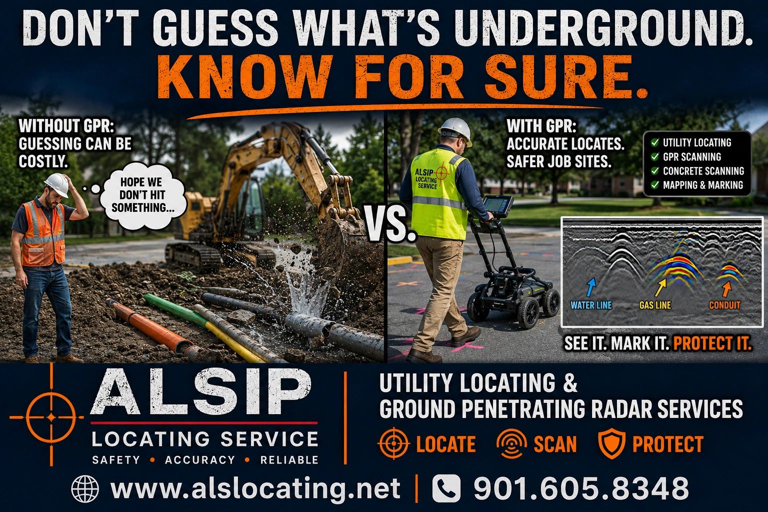
Alsip Locating Service, LLC provides professional private utility locating and Ground Penetrating Radar (GPR) services throughout Mississippi. Our experienced technicians use electromagnetic (EM) locating, GPR, and other proven subsurface technologies to help identify underground utilities before excavation, drilling, boring, construction, and site development. We work with contractors, engineers, industrial facilities, property owners, and other clients throughout North Mississippi and across the state.
Need Private Utility Locating in Mississippi?
GPR is only one of the technologies Alsip Locating Service uses to investigate subsurface conditions. We also provide professional private utility locating throughout Mississippi to help identify underground electric, gas, water, communications, sewer, and other site utilities before excavation, construction, or site development.
Utility Locating & Ground Penetrating Radar

Electromagnetic (EM) locating provides fast, accurate detection and tracing of conductive underground utilities, crucial for effective utility locating services. EM locating helps crews find, trace, and safely work around underground utilities before they dig, minimizing risks during the excavation process.
Additionally, concrete GPR scanning, or ground penetrating radar, offers valuable insights into what lies beneath the surface without the need for excavation. Ground penetrating radar in Mississippi gives teams a clearer picture of subsurface conditions, aiding in safer digging practices, avoiding costly surprises, and enabling projects to be completed more efficiently.
Concrete GPR Scanning

Concrete GPR scanning, using advanced ground penetrating radar in Mississippi, helps identify what's inside concrete before cutting, drilling, or coring. This essential service provides utility locating services to contractors, enabling them to know what lies within the concrete. By doing so, it reduces risk, saves money, and keeps projects on schedule.
Utility Mapping Services
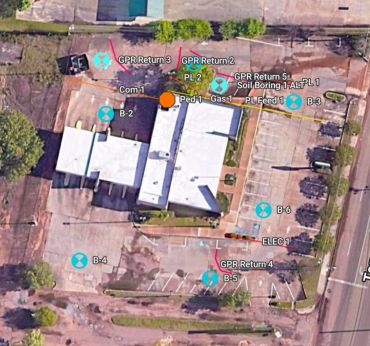
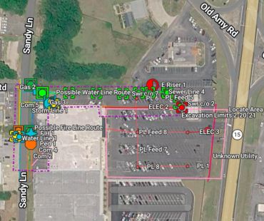
Utility mapping provides a clear, accurate picture of underground and above-ground utilities before construction begins. Utility mapping gives contractors and engineers the information they need to dig safer, plan smarter, and complete projects more efficiently.
Utility Locating Service Areas in Mississippi
Alsip Locating Service provides private utility locating, GPR, concrete scanning, and utility mapping services throughout Mississippi, including:
- Olive Branch
- Hernando
- Southaven
- Holly Springs
- Jackson
- Columbus
- Richland
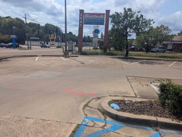
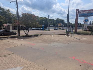
Mississippi Projects - From North Mississippi to Jackson, Mississippi