
Utility Locating in Mississippi
Quality
Alsip Locating Service is dedicated to providing professional, reliable subsurface locating services throughout the Mid-South. With more than 40 years of combined real-world experience, our team specializes in private utility locating, Ground Penetrating Radar (GPR), concrete scanning, utility mapping, and water leak detection.
Using advanced locating equipment and proven field techniques, we help identify underground utilities and subsurface features before excavation, drilling, construction, and other site work. Our focus is simple: provide accurate information, dependable service, and quality workmanship our customers can trust.
Customer Service
Customer service is at the heart of everything we do. Our experienced team works closely with each client to understand the project, site conditions, and specific locating needs before beginning work.
From private utility locating and Ground Penetrating Radar (GPR) to concrete scanning and pipe locating, we use professional equipment and proven field methods to provide accurate, dependable results. Our knowledge of underground utility systems throughout the Mid-South allows us to help contractors, engineers, property owners, and facility managers make informed decisions before excavation, drilling, cutting, or construction begins.
Experience
At Alsip Locating Service, LLC, we use advanced Ground Penetrating Radar (GPR), electromagnetic (EM) locating equipment, and proven field techniques to locate underground utilities and subsurface features.
Our experienced technicians provide private utility locating, concrete scanning, and pipe locating services for commercial, industrial, and residential projects. Depending on site conditions, we can help identify electrical, gas, water, telecommunications, conduits, and other underground infrastructure
What Services do we offer:
EM Utility Locating
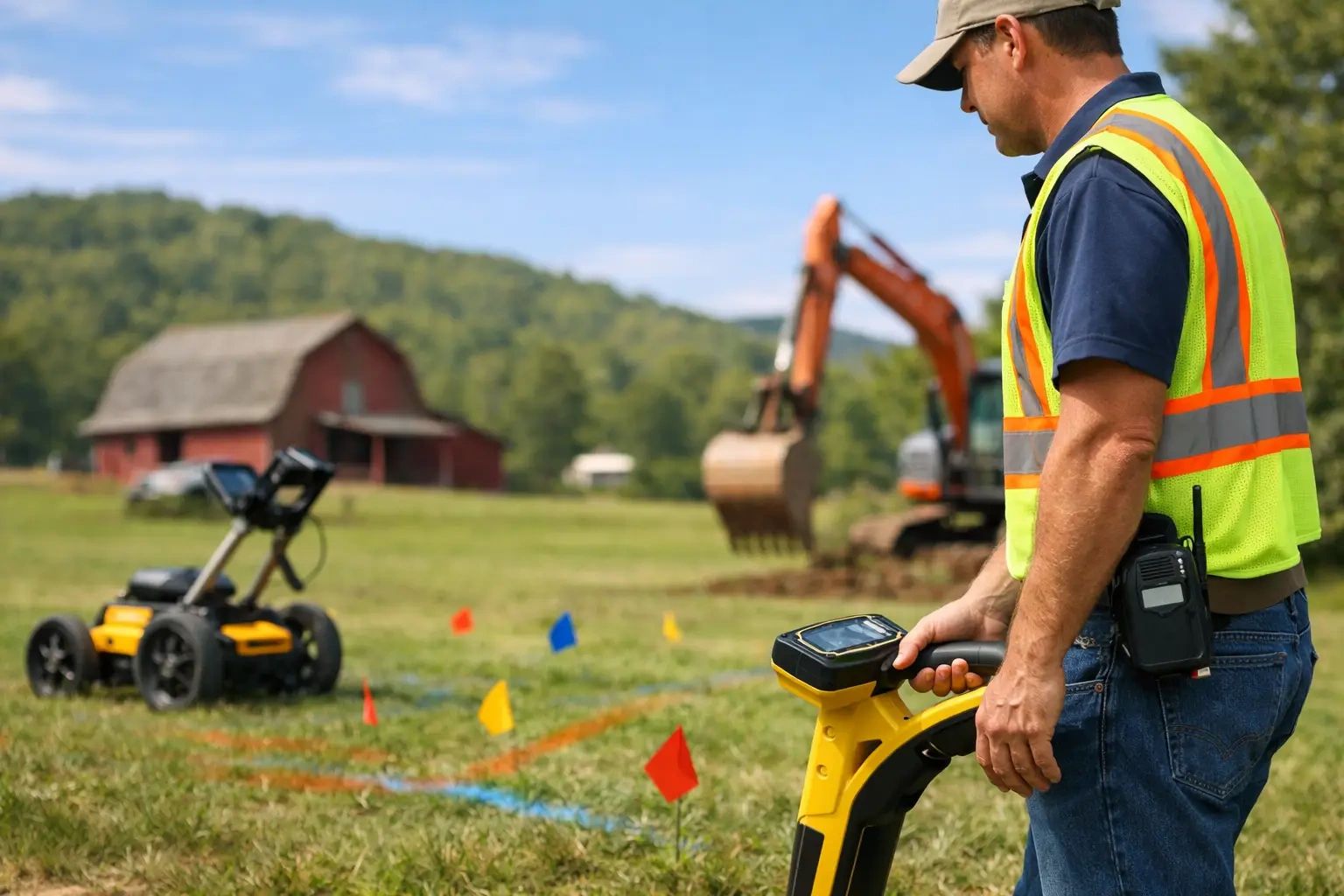
Electromagnetic (EM) utility locating is a proven method used to identify and trace buried conductive utilities, including electrical, gas, telecommunications, cable, and metallic water lines. Using specialized transmitters and receivers, our technicians apply or detect an electromagnetic signal associated with the utility, allowing us to trace its approximate location and direction and, when conditions allow, estimate its depth from the surface.
EM locating is an important part of preventing utility strikes and reducing risks associated with excavation, drilling, boring, and construction. By locating and marking underground utilities before work begins, contractors, engineers, property owners, and facility managers can make more informed decisions and reduce the risk of costly damage, project delays, and service interruptions.
Ground Penetrating Radar
Ground Penetrating Radar (GPR) is a non-destructive testing technology used for utility locating and evaluating underground utilities, structures, and other subsurface features. GPR operates by transmitting high-frequency radar signals into the ground and analyzing the reflections generated by changes in subsurface materials and buried objects.
Unlike electromagnetic (EM) locating methods, GPR does not require a utility to be conductive. When site and soil conditions are favorable, Ground Penetrating Radar can assist in identifying or investigating:
- - PVC and other non-metallic piping
- - Concrete and drainage systems
- - Fiber-optic and communication infrastructure
- - Underground storage tanks (USTs)
- - Septic tanks and related components
- - Voids, foundations, and other subsurface features
- - Other non-conductive utilities and structures
- -Unmarked Graves
Concrete Scanning
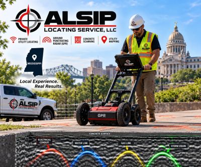
Concrete scanning is a non-destructive method used to identify embedded objects and subsurface features within concrete before drilling, coring, cutting, or demolition begins. Using Ground Penetrating Radar (GPR), our technicians can help locate reinforcing steel (rebar), post-tension cables, conduits, electrical lines, voids, and other embedded features.
Knowing what may be beneath the surface before work begins helps contractors and project owners reduce the risk of damaging critical infrastructure, improve jobsite safety, and avoid costly delays or unexpected repairs.
Concrete scanning is commonly used for renovations, structural modifications, utility installations, core drilling, saw cutting, and other projects where knowing the location of embedded objects is critical before penetrating the concrete.
Who do we provide services for?
General Contractors
General contractors use Alsip Locating Service to reduce risk and keep construction projects moving safely and efficiently. We locate private underground utilities, perform GPR investigations and concrete scanning, and help identify hidden infrastructure before excavation, drilling, coring, or cutting begins. Our services help prevent utility strikes, costly damage, project delays, and unexpected site conditions.
Engineering Firms
Engineering firms utilize Alsip Locating Service to obtain reliable subsurface information for planning, design, and construction projects. Our private utility locating, Ground Penetrating Radar (GPR), concrete scanning, and utility mapping services help identify and document existing infrastructure, reduce uncertainty, support accurate project designs, and minimize the risk of utility conflicts, damage, and costly field changes.
Survey Companies
Survey companies utilize Alsip Locating Service to help identify and document underground utilities and other subsurface features that cannot be determined through traditional surveying alone. Our private utility locating, GPR, and utility mapping services provide valuable field information that can be incorporated into site surveys, utility maps, and existing-conditions documentation for more complete and accurate project data
Utility Contractors
Utility contractors utilize Alsip Locating Service to identify existing underground infrastructure before installation, excavation, trenching, boring, or repair work begins. Our private utility locating, GPR, and utility mapping services help prevent utility strikes, verify line locations, reduce costly conflicts and downtime, and provide contractors with greater confidence before breaking ground
Environmental Firms
Environmental firms utilize Alsip Locating Service to identify underground utilities, storage tanks, buried structures, and other subsurface features before drilling, soil sampling, monitoring-well installation, or site investigation. Our private utility locating and GPR services help improve site safety, reduce the risk of utility strikes, and provide valuable subsurface information for environmental assessments and remediation projects.